|
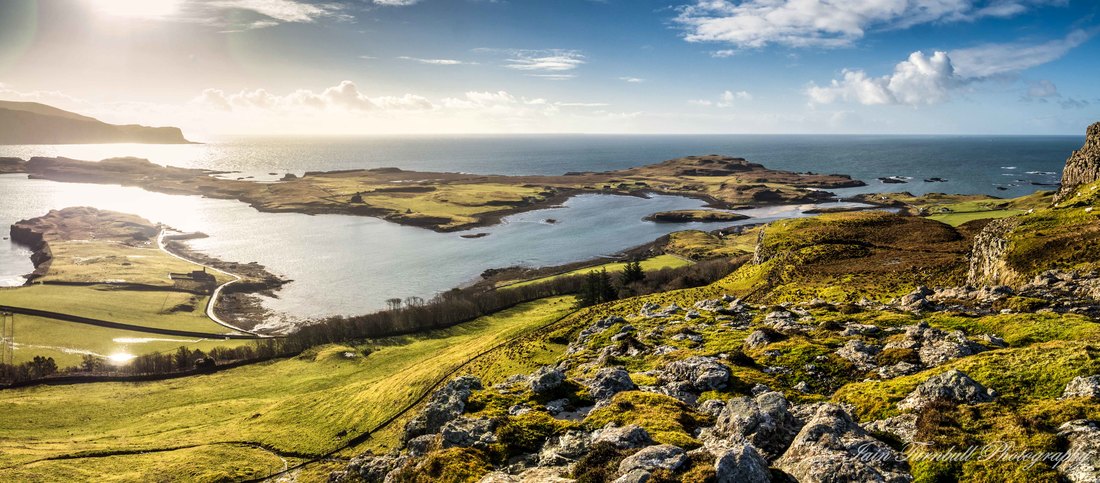
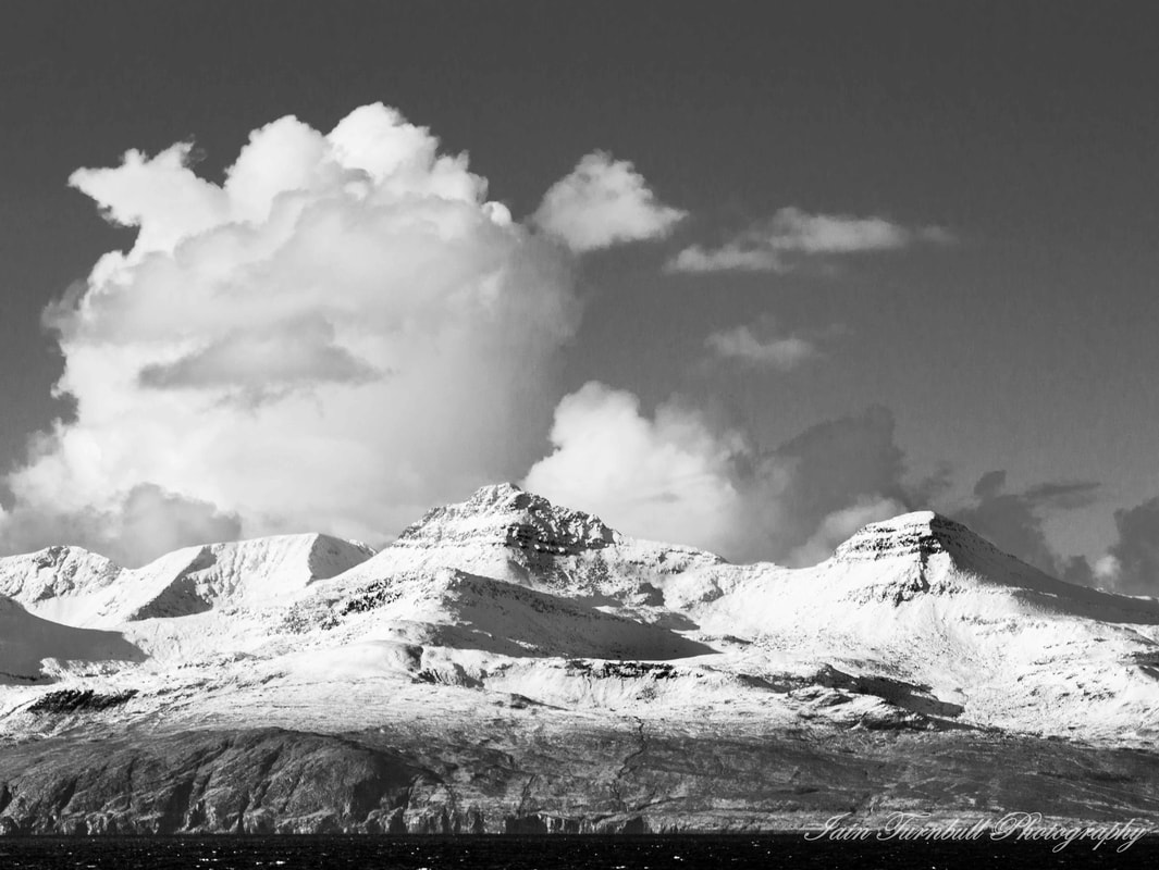
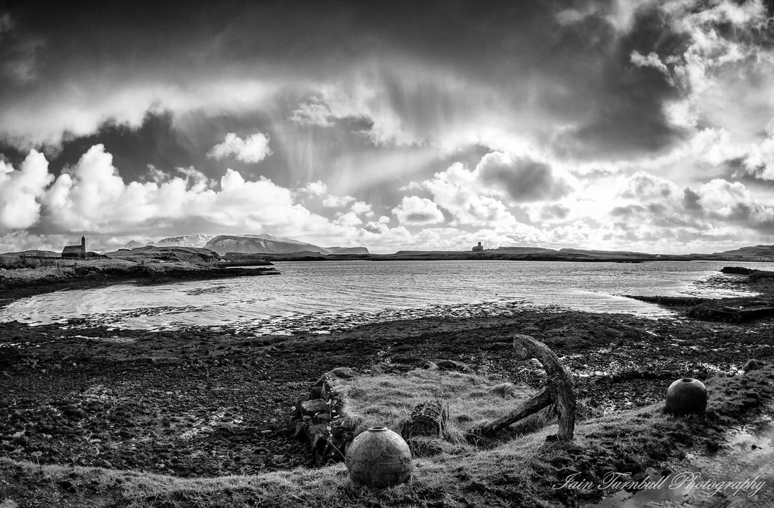
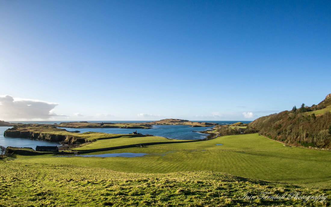
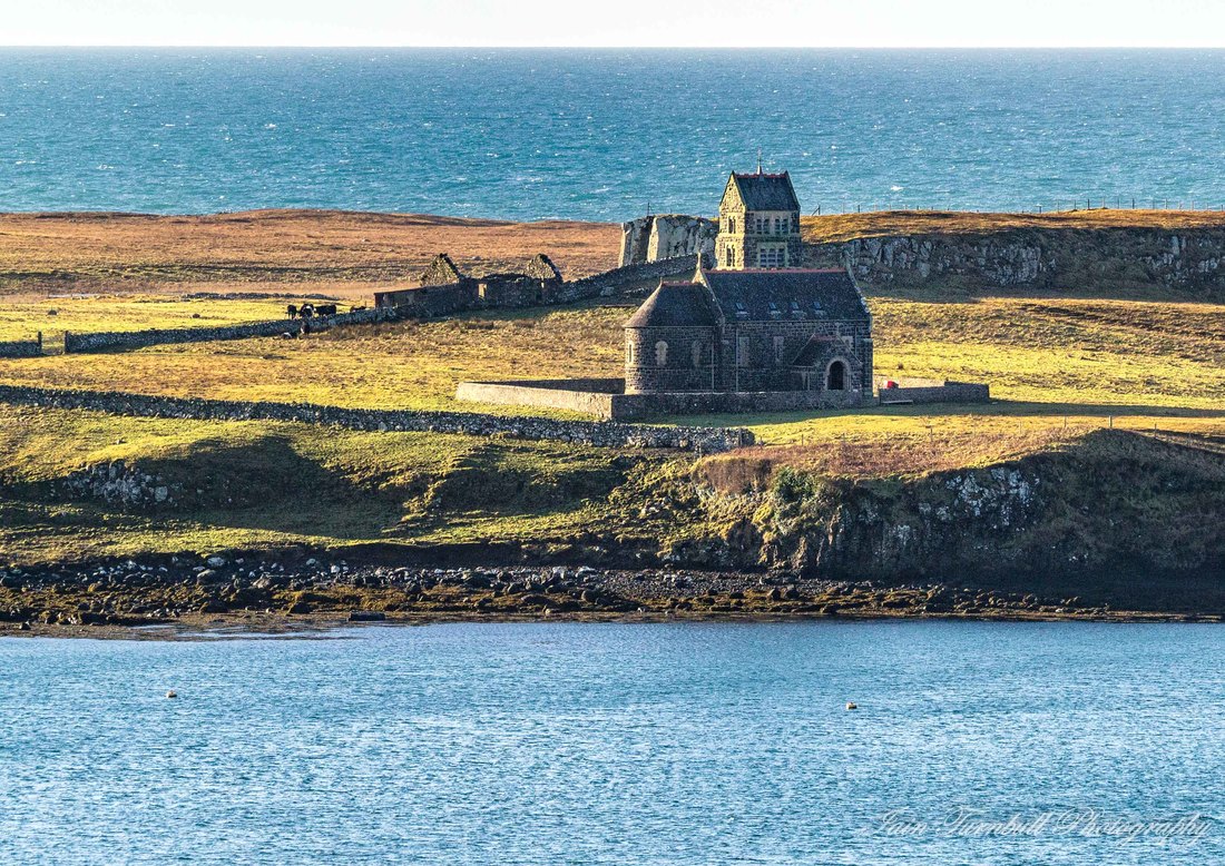
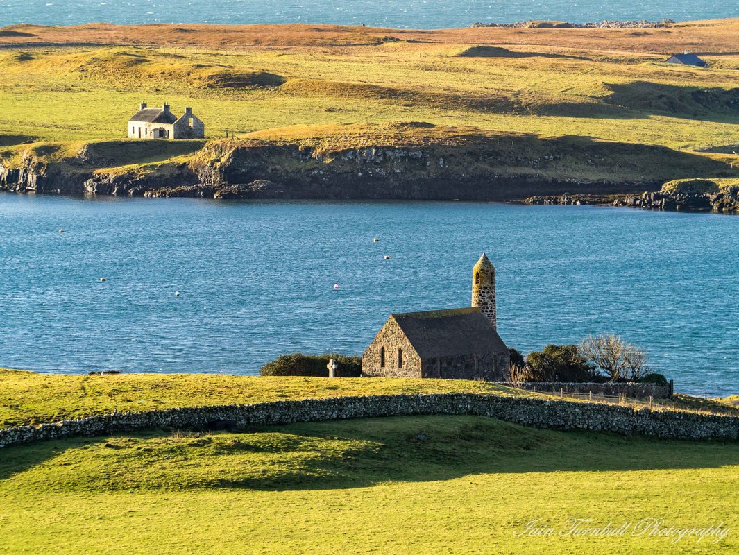
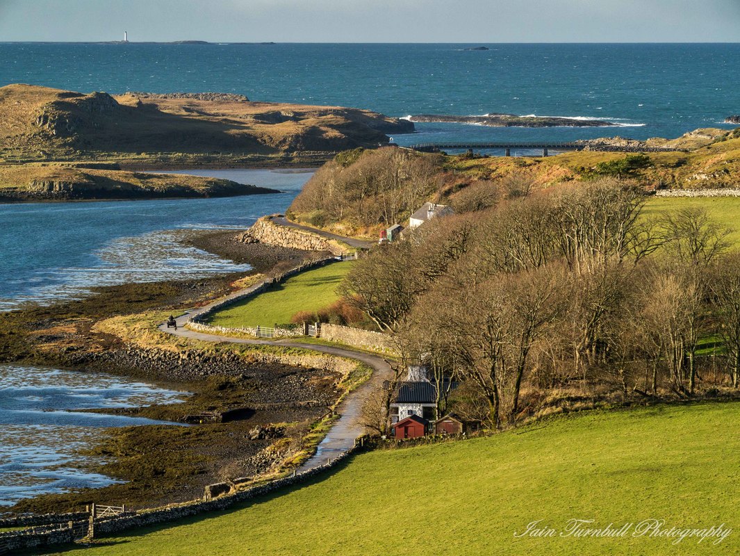
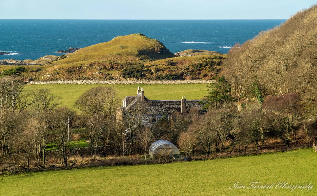
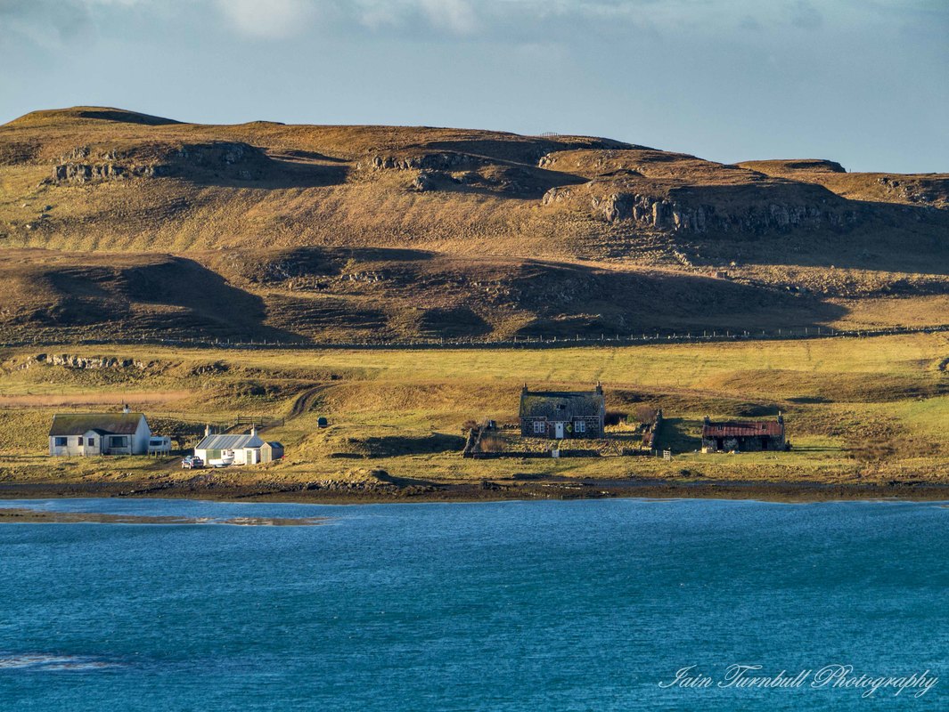
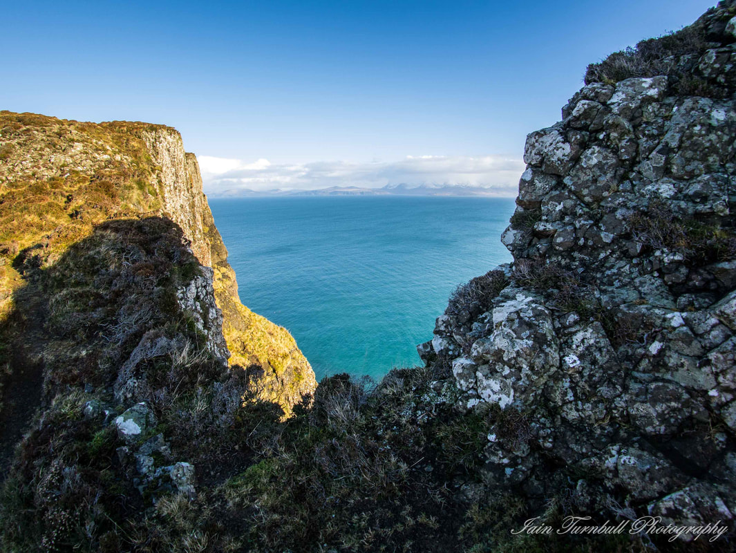
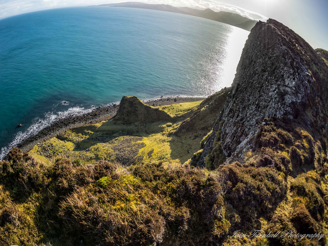
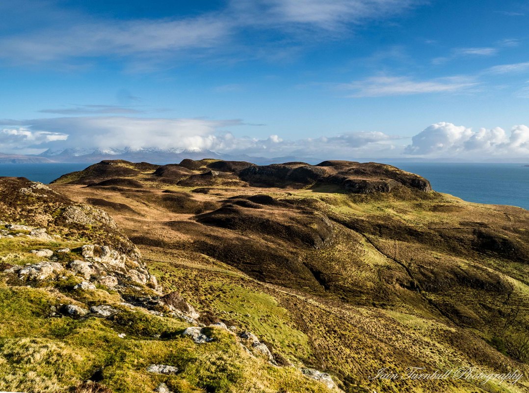
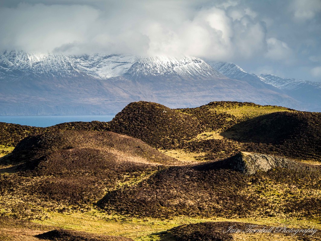
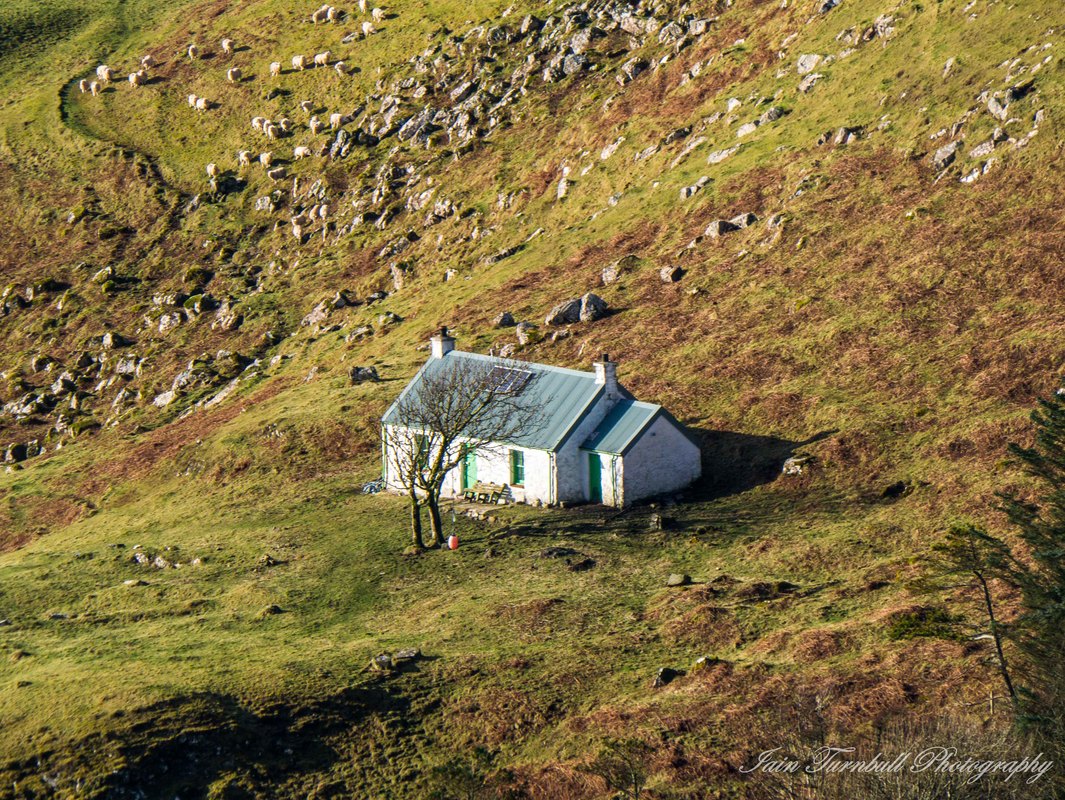
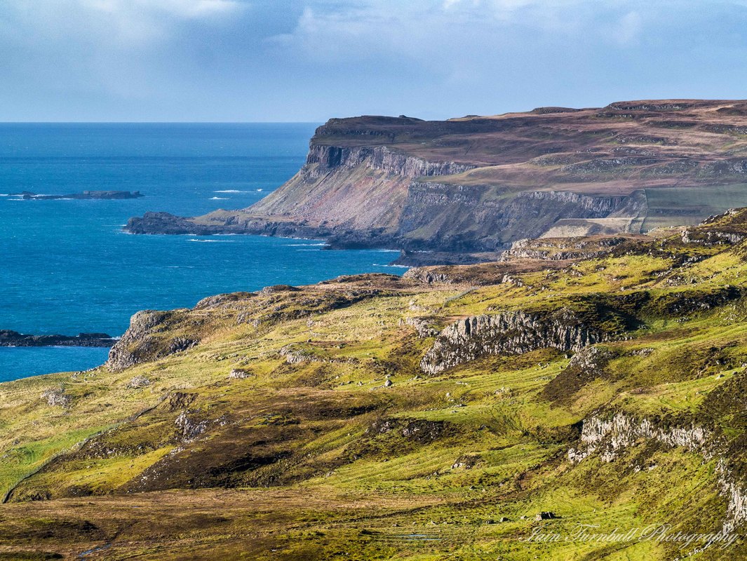
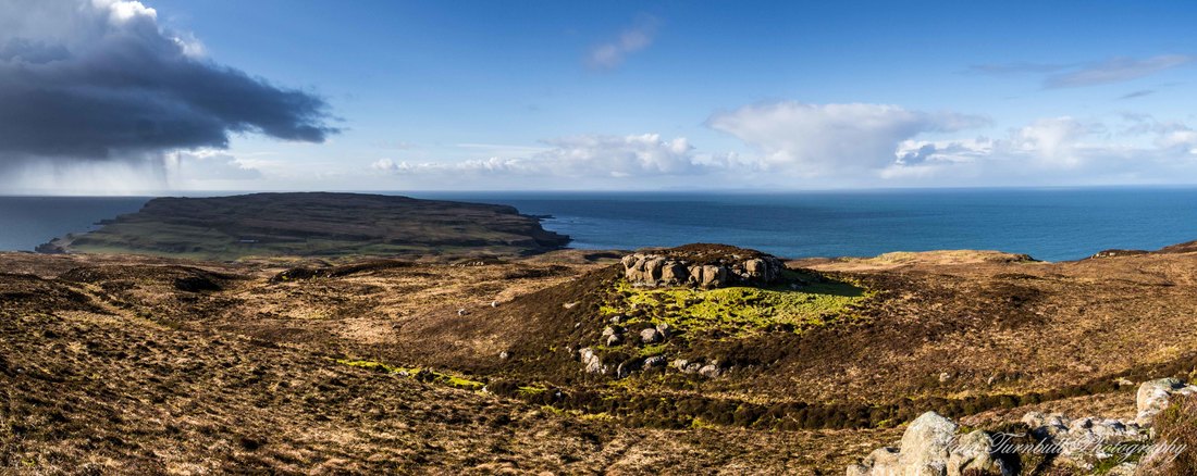
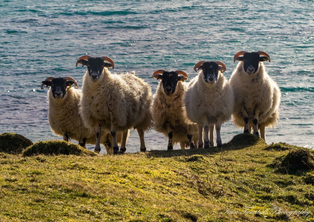
Last week I had a trip to Canna for work and was meant to be there from Tuesday to Thursday but a huge storm prevented the ferry from sailing on Thursday. As a result I was left having to wait until Sunday to get off the island and back home. This was not really a great hardship, although the weather remained poor until Saturday morning when I went for a long walk around the east end of the island. This shot is a panorama of two images of Canna's Harbour Bay from Blar na Carraigh. The light was challenging as the sun was shining brightly to the south. I tried various exposures but ended up resorting to merging three auto-bracketed shots into an HDR image using Lightroom. This was a process I was forced to use for a few of these shots but I think they accurately reflect the way things looked on the day. Normally I try to avoid using HDR but sometimes when the range of light is so enormous and you don't have any filters with you it can work well. This image of the snow covered Cuillins of Rum was taken from the ferry on my way to Canna on Tuesday. The co;our version was good but it lacked real intensity due to the distance and the clouds just didn't impress me so I converted it to black & white in Lightroom and I feel it works much better. This is basically the view from outside the Bothy where I was staying on the island. This was taken using a very wide angle (9mm - equivalent to 18mm in old 35mm film) cheap lenscap lens with a fixed aperture of f/8 and only three focus settings, infinity, distant and close-up focus options. This was taken using the distant setting and I straightened out the optical distrotion produced by such a wide angle lens using Lightroom. The colour version was nice but I prefer the emphasis on the clouds that the B&W produces. This is another wide-angle shot taken from above the main village area on the island looking west with the farm land in the foreground and the island of Sanday in the distance. The next couple of shots are of the two old churches on the island, the first the catholic St Edward's on Sanday and the second the presbyterian on on Canna. Both are no longer used as churches and sadly needing some significant repairs and ultimately a sustainable use. The next four shots show the view westwards from Compass Hill towards the Sanday bridge and beyond that to Heiskeir Lighthouse. The one of the lazybeds, or Rig & Furrow patterns shows how the land would have been worked in the past, contrasting nicely with the more recent housing, a genuine cultural landscape. Canna is well known for its cliffs, particularly on the north side. I don't have the best head for heights so avoided getting too close to the edge. Instead I meandered my way from east to north and back to the south facing crags, and eventually westward towards Tarbert and then down the steep slopes between the basalt columns before heading home along the Tarbert road. The landscape on the top of the island is rough with heathery knolls interspersed with boggy grassland and rocky crags and outcrops. The following shots attempt to illustrate this variety and some of the spectacular vistas that make climbing the steeper bits and navigating around all the bog areas worthwhile. Finally, these ladies were just posing for a photography beside the Tarbert road.
0 Comments
Leave a Reply. |
AuthorI am an amateur photographer who is also a Chartered Geographer with his own part-time consultancy business and I work as an estate manager for a national conservation charity in Scotland. I am based in Lochalsh, Wester Ross, Scotland, just next to the Isle of Skye. SalesIf you like my photos and are interested in purchasing prints, whether framed, mounted or otherwise please click here.
Archives
May 2024
Categories |



 RSS Feed